Welcome to KGIS (Kew GIS)
We are developers of online GIS mapping solutions. As developers of a number of GIS projects, we know GIS. Do you need PostGIS data hosting, WMS layer servers or general digital map production and hosting? We can help you. Send us a message outlining your project and we get back to you with a plan and a quote. GIS should not be the sole domain of large business – we can help solve your problems whilst delivering great value through open software systems.
About Our Projects
Government data is freely available on a vast array of topics however it is rarely utilised by small users with limited capacity to interpret the data. This is especially the case for geographical data which necessitates much more processing power. For example, cadastral data is of vast use but the massive size of the combined dataset makes utilising the data tough. Due to the size, displaying the data online is a challenge. However, we are looking to change that by developing innovative data saving techniques to display GIS data to home users in an easy, quick fashion. Government GIS data should not be the preserve of experts and large organisations, especially government data.
Have a look at our projects below. If you have any queries or business questions please contact us using the form.
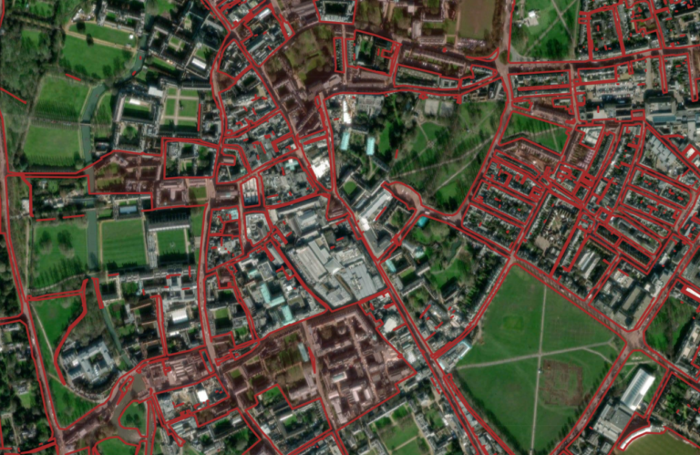
Cadastral data, produced by HM Land Registry, provides a wealth of information however the huge size of the combined dataset makes any kind of analysis incredibly difficult.
We noticed no product exists mapping out all unregistered land in the UK so this projects seeks to set this straight. Using a high end geoserver combined with quality layers we provide an extremely powerful product, hosted online, for users wishing to examine the locations of unregistered land. For a small monthly fee, we provide our users with 318 maps covering every district of England and Wales with regular updates included.
Rights of Way UK provides users with a set of quality rights of way maps displaying all legally registered footpaths, bridleways, restricted byways and BOATs. Our basic service, provided free of charge, covers every county entity with a definitive map separately.
Currently we are in the process of launching this product and hope, in future, to support a mobile app, premium aerial view layers, location finding and more. Our goal is to get more people walking, interested in rights of way and to ensure users can quickly tell if the footpath they are walking is legally a footpath. With the deadline to register historic rights of way looming this is a task of growing importance.
This site is currently undergoing development however check back soon to see our fully launched product.
